In periodes van langdurige droogte of warmte zijn landbouwers vaak op zoek naar extra water om hun gewassen te besproeien. Wij willen hen hierbij helpen en stellen gratis ons spoelwater ter beschikking op waterproductiecentra en dit tot zover de voorraad strekt.
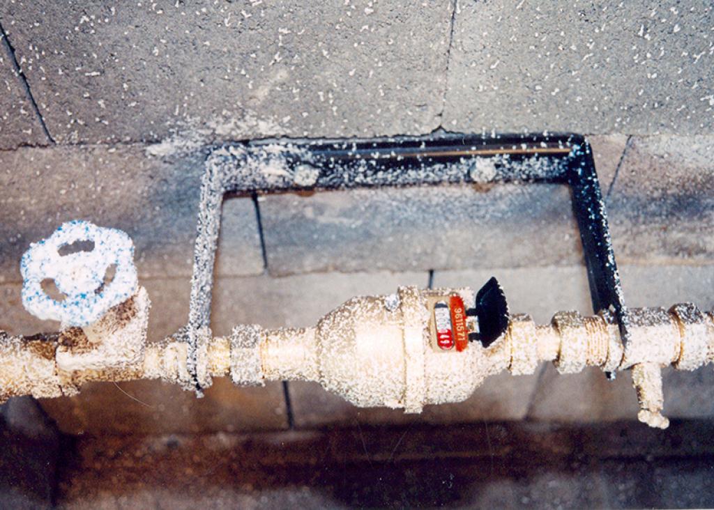
Pidpa schakelt over naar digitale watermeters. Net als je klassieke analoge watermeter meet de digitale meter jouw waterverbruik. We komen de digitale watermeter gratis bij je thuis installeren. Lees hier alles wat je over de Digitale Watermeter moet weten.
Water als grondstof, als energiebron, als voedingsmiddel,....
Niemand die vandaag nog twijfelt aan het belang van water.... in onze maatschappij, bij je thuis, in je bedrijf. Aan ons om ervoor te zorgen dat je 24 uur per dag, zeven dagen op zeven kan genieten van voldoende kwaliteitswater.
Maar wij gaan verder: wij bieden je oplossingen op maat voor de uitdagingen of problemen van morgen.
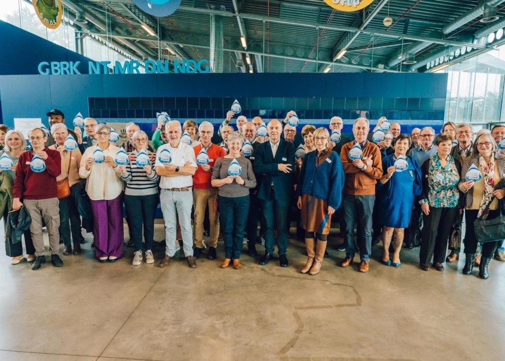
Wij staan, als producent en leverancier van een voedingsmiddel, middenin de samenleving. Dat vertaalt zich in een sterk engagement naar onze klanten, vennoten en medewerkers.
Maar dat is niet alles: wij ademen 'duurzaamheid' in haar werking, in alles wat wij doen. Zorgvuldig omspringen met de natuurlijk grondstof 'water' en deze veiligstellen voor de toekomstige generaties behoort tot onze kerntaken.